
New USGS Unified Lunar Strata Map Fuses Data From Historical And Contemporary International Missions
USGS In Conjunction With LPI And South Dakota School Of Mines And Technology Aggregate 1:5,000,000 Scale 3-Dimensional Model Of Moon; “Definitive” Geological Map Is Result Of Decades-Long Effort Per Lead Study Author Corey Fortezzo; Presented Virtually At 51st Lunar And Planetary Science Conference; Datasets Include 6 Apollo Mission Observations Overlaid With Equatorial Imaging (60°N-60°S) Taken With Terrain Camera On JAXA SELENE Orbiter With Resolution Of 60 m/pixel And Polar Data From LRO Camera Wide Angle Camera And Laser Altimeter At 20 m/pixel; Geological Topography Of Vital Importance To Resource Prospecting
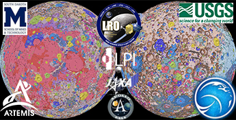
Credits: NASA, GSFC, USGS, LRO, JAXA